
How the underwater ROV works
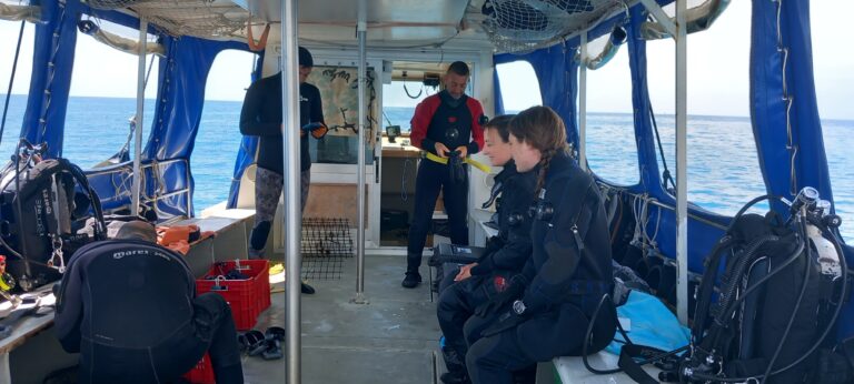
A valuable ally for biologists in the LIFE Pinna project, especially in the research and monitoring of Pinna nobilis individuals, is the ROV (remotely operated vehicle).

This underwater robot, purchased for the project by the lead partner ARPAL, is a small submersible with six thrusters that allow it to move through the water column. It is equipped with LED lights and a camera, enabling high-resolution video recordings and sequential photos, georeferenced to the seabed in order to track the paths (and any “important” points) and repeat them after some time.

Controlled through a joystick-like control stick, it is operated from the boat from which it is launched, remaining connected via a traction cable up to 300 meters long, which, in addition to transmitting commands, also allows for retrieval in case of emergency.

Characteristics
- Movement capability along 3 axes: forward/backward, up/down, 260° rotation.
- Maximum depth: 300 meters.
- Battery-powered, with LED illuminators.
- Equipped with a clamp for sampling.
- Slightly positively buoyant, so it slowly returns to the surface on its own.
- Supplied cables: one 100 meters and one 300 meters long.
- Positioning system: the ROV communicates via acoustic pulses with a device lowered from the surface vessel, allowing the robot’s position to be constantly tracked with an error margin of only a few centimeters.
Uses
One of the most important uses in the LIFE Pinna project is the ongoing monitoring of transplanted bivalves, for example in the Capo Mortola Marine Protected Area, to check their health status.
Biologists from the ARPAL Marine Center can also use it to monitor Posidonia oceanica meadows, particularly near their lower limit, which is commonly found at 40 meters depth, where divers have limited time for reconnaissance.
More generally, an ROV can be used for underwater photogrammetry, the underwater equivalent of drone-based land mapping. With the data collected by the ROV and processed using specialized software, an accurate 3D reconstruction of the seabed can be created.

Credit: Centro del Mare/ARPAL


